2D Flood Modeling (FLO-2D)
Built a 2D hydrodynamic modeling workflow to simulate flood behavior and generate depth and extent outputs to support hazard interpretation and planning. This case study uses only public-domain, synthetic, or sanitized examples.
Highlights
What the model outputs were intended for and how the workflow is organized.
Objective
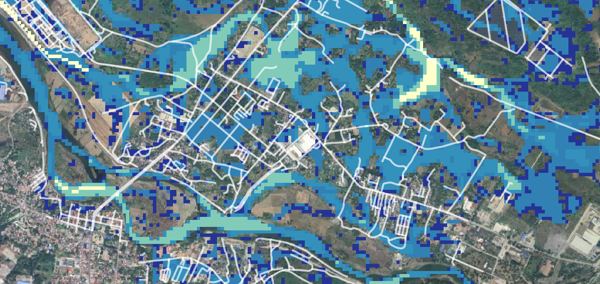
- Simulate flood behavior and identify flow paths.
- Generate flood depth and extent maps for planning.
- Support interpretation with clear spatial outputs.
Approach
- Prepare terrain, roughness, and boundary conditions.
- Run 2D simulations and review stability and QC.
- Post-process rasters and map final outputs.
Tools
- FLO-2D for model setup and simulation.
- GIS for terrain preparation and output mapping.
- Python for automation and summary workflows.
My Role
- Set up model inputs and configured parameters.
- Executed simulation runs and performed QC checks.
- Generated GIS-ready outputs and final maps.
Key Takeaways
- Input quality — terrain and roughness — strongly drives output reliability.
- Consistent QC steps reduce reruns and improve the defensibility of results.
- Depth and extent maps communicate simulation results clearly to stakeholders.
Model Setup
Prepare terrain, roughness, and boundary conditions to define a stable and physically representative simulation domain.
- DEM processing and computational grid preparation.
- Assign roughness and land-cover parameters to grid elements.
- Define inflow and outflow boundaries and design event assumptions.

Simulation & QC
Run the model across event scenarios and verify the stability and physical consistency of simulation outputs.
- Execute scenarios across design events, durations, and sensitivity cases.
- Check output stability and sanity — flood depth, velocity, and mass balance.
- Iterate model settings to resolve numerical artifacts if needed.
Post-processing & Outputs
Convert simulation results into GIS-ready products and decision-ready maps for reporting and downstream analysis.
- Export flood depth and extent rasters and contour layers.
- Compose final maps and summary figures for reporting packs.
- Package outputs for downstream hazard exposure analysis.

Data Privacy Note
This case study is generalized and displays only public, synthetic, or sanitized examples. No client-confidential information is included.